Mining Services
Engineering, survey and project systems built around the realities of mine sites in West Africa.
From greenfield study work to operating-mine support, SITEC brings engineering, survey and project systems together for the mining sector. Every service below is mapped to the workflows mine operators and EPCM (engineering, procurement and construction management) teams actually run — plant-expansion engineering, pit and stockpile survey, construction supervision and the project systems that underpin planning, reconciliation and payment certification.
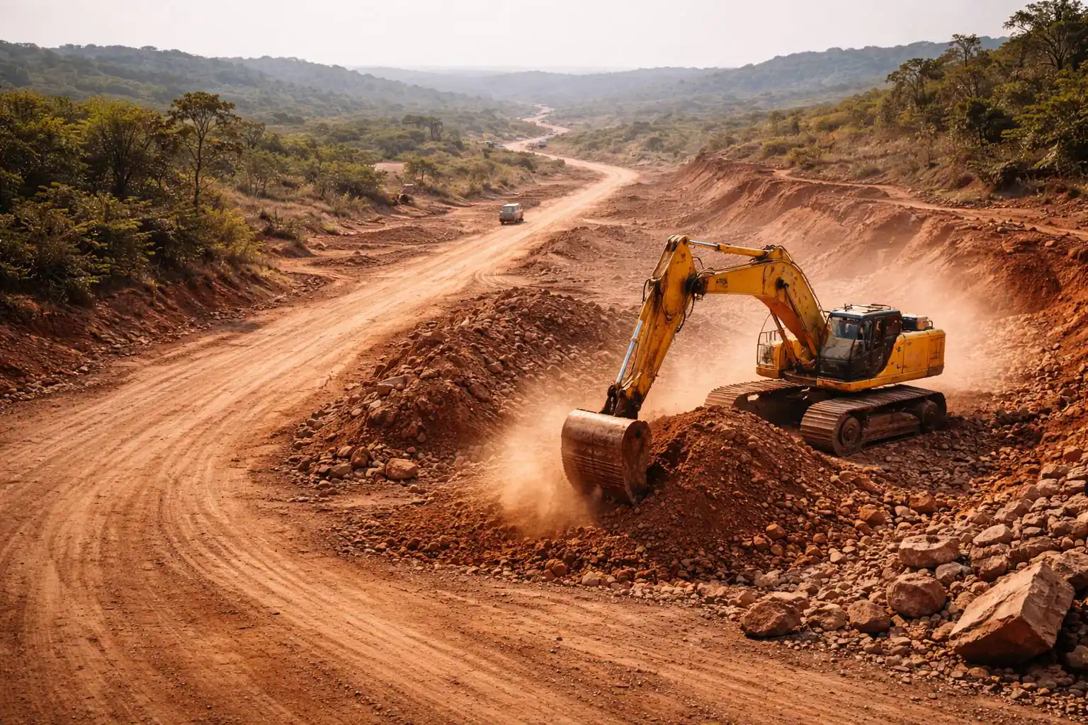
Mine Survey & Volumetrics
Engineering-grade spatial data for planning, reconciliation and payment certification.
- Pit, dump and bench topographic surveys by GNSS, total station and drone
- Stockpile and excavation volume reconciliation from drone or ground survey
- Monthly drone progress capture for capital projects and earthworks
- Haul-road and access-road condition and design surveys
Tailings, Water & Environmental Monitoring
Drone and LiDAR monitoring for tailings facilities, water infrastructure and environmental baselines.
- Drone and airborne-LiDAR survey of TSF embankments, freeboard and surface change
- Erosion, vegetation and environmental baseline mapping
- Water and drainage infrastructure inspection
- Slope and corridor monitoring across complex terrain
Plant Expansion & Mine Engineering
Independent engineering and oversight that keeps mine projects technically sound.
- Design verification against international codes before construction
- On-site multidisciplinary oversight — civil, structural, mechanical, electrical, piping
- Technical documentation, as-builts and compliance records
- Feasibility and study-phase engineering inputs
Construction Management for Mine Projects
Disciplined project controls and supervision for expansions and infrastructure on active sites.
- Project controls — schedule, cost and earned-value reporting
- Construction supervision and QA/QC on operating sites
- HSE management and regulatory compliance
- Commissioning, punch-list resolution and handover
Greenfield & Site Infrastructure
Survey and engineering for early-stage developments and the infrastructure that supports them.
- Topographic and geospatial baseline surveys
- Multidisciplinary design coordination
- Access and haul roads, platforms, drainage and earthwork volumes
- As-built surveys and progress documentation

Planning a Mining Project in West Africa?
Tell us your scope — pit survey, stockpile reconciliation, plant expansion or full project control — and we will define the right capability package.