- Challenge
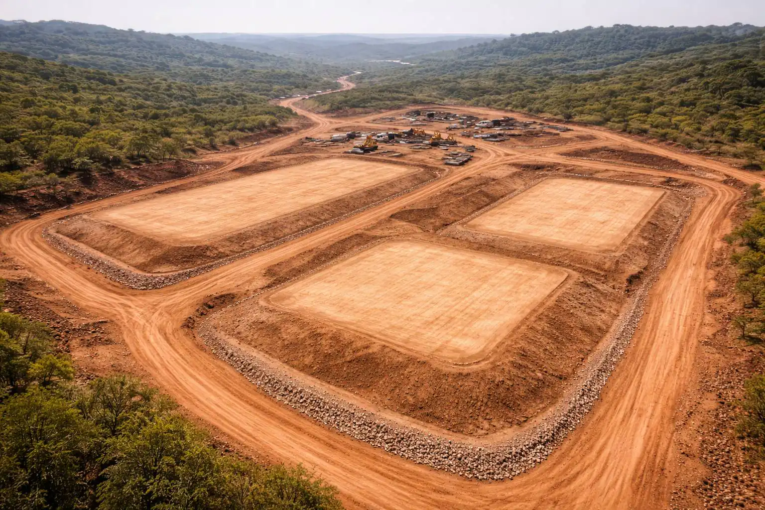
- An operating industrial facility needed an accurate topographic survey and up-to-date mapping of its installations to support site management, infrastructure maintenance and development planning.
- Approach
- GNSS/RTK survey and site mapping — building footprints, utilities, roads and boundaries — delivered in engineering-ready and GIS formats.
- Outcome
- A site plan and topographic data delivered in CAD and GIS, providing a reliable, reusable geospatial baseline for facility management and development projects. Client name withheld.